Mar 20th, 2026 - Conditions Report

Spring is Coming - Are You Ready?
Join us for Private Ski Guided Days in the Bow Valley and 93N,
Rogers Pass, Revelstoke, or Fernie.
If you're looking for a multi-day adventure, connect with us about
our Wapta Ski Traverses or winter backcountry camping trips on the Columbia Icefield.
SNOWPACK & AVALANCHE CONDITIONS REPORT
Bow Valley and the 93N - March 20th, 2026
Welcome back to the Guide’s Line Blog. If the last few posts have been defined by subtle shifts and steady mid-winter patterns, this one marks a hard pivot. Over the past two weeks a significant amount of new snow has arrived in the Bow Valley via a series of storms, and most recently culminating in a major avalanche cycle associated with an atmospheric river that wrapped up just as this blog went live. Put simply, it’s been a loud and wet week in the mountains, and there’s been no shortage of large avalanche activity.
At the same time, our most recent field days took place before this storm cycle reached its peak. Given the scale of recent snowfall and avalanche activity, we expect the landscape to look quite different from the last time we had skis on the ground. We have not been back out in the post-storm period at the time of writing. As this system tapers off, we’re preparing to step back into the field, rebuild a clear picture from direct observations, and see how the snowpack is settling out in the wake of this cycle.
The sections below reflect what we know so far, what we’ve been able to observe directly, and what we’ll be focusing on as we start rebuilding a clearer picture in the days ahead.
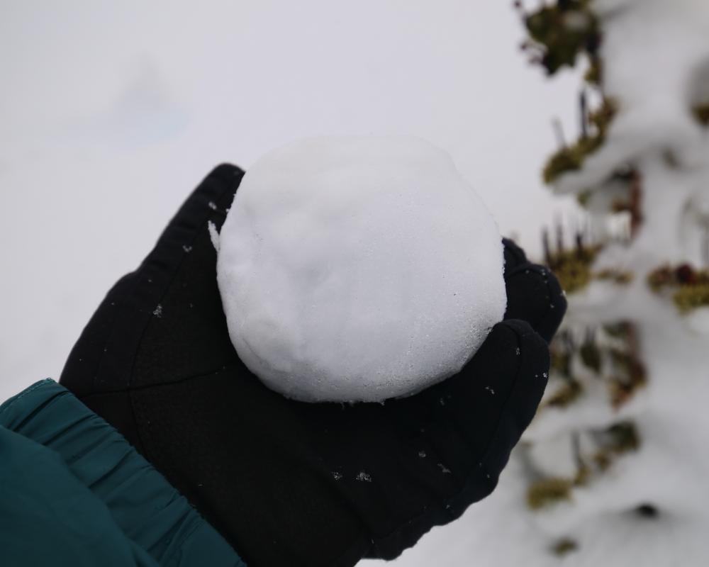
The Atmospheric River made for fantastic snowball snow
GENERAL OBSERVATIONS
Since our last update, conditions in the Bow Valley have undergone a major shift. Over the course of March, a significant amount of new snow has arrived in the region, on the order of roughly 80 cm in the Bow Valley, culminating in an atmospheric river event that delivered significant precipitation and a rapid increase in loading across the region. Based on precipitation totals in the range of roughly 80 to 150 mm, storm totals in the alpine may have reached on the order of 100 cm or more in places, though we have not yet been able to verify alpine totals through direct field observations.
The defining feature of this cycle was warmth. Freezing levels climbed to approximately 2200 m, resulting in widespread rain and saturation at lower elevations. Below this level, snow surfaces were heavily affected by rain and melt, with wet snow conditions becoming dominant. In some valley-bottom locations, it is possible that snow cover has been significantly reduced, or removed entirely, as a result of sustained melt and rainfall.
Wind also played a major role. Strong south to southwesterly ridgetop winds accompanied the storm, contributing to intense redistribution and additional loading in exposed terrain. Taken together, the combination of warm precipitation, strong wind, and rapid loading created a very different snowpack environment than what we’ve been tracking through much of late winter.
Since then, temperatures have dropped significantly as of today, March 21.
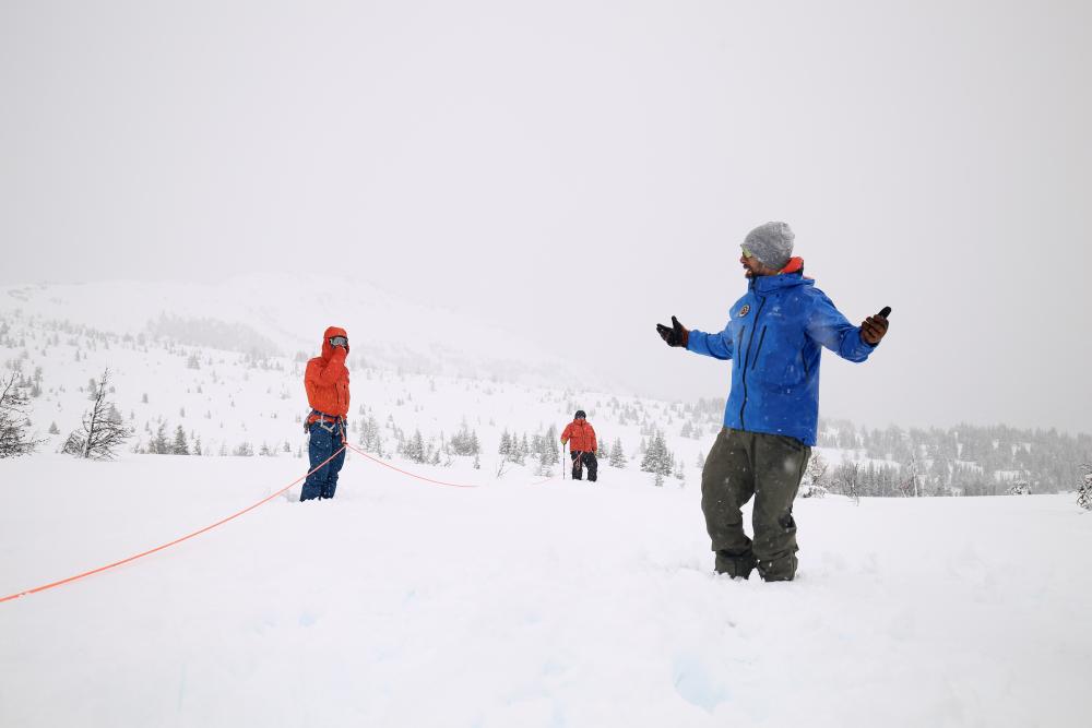
Teaching rope skills in non avalanche terrain
DIRECT SNOWPACK OBSERVATIONS
Our most recent time in the field was Thursday, though it was limited to skills work just outside a resort boundary. Earlier in the week, we also had limited opportunities to dig and observe conditions as this storm cycle ramped up. As a result, the observations below reflect what our guides were seeing prior to the peak of the atmospheric river event, and should be viewed as a snapshot of conditions during the loading phase rather than a definitive assessment of the post-cycle snowpack.
Through that period, travel and observations were concentrated primarily below treeline and near treeline. During field days, the most consistent and obvious feedback was the near-constant precipitation itself. Snow during the storm was notably wet and heavy, and below approximately 2200 m it quickly became sticky and “glue-like,” with saturated snow surfaces dominating travel conditions. At the time, no clear crust formation had yet developed in the locations we were travelling.
On Tuesday, our guides performed compression tests across several crust and facet interfaces in the upper snowpack. Results through 30 taps were largely non-reactive, with occasional partial fractures that did not propagate across the full column. On the 31st tap, which was performed beyond the standard 30 loading steps for educational purposes, the additional “bonus” step produced a sudden planar result on the January 24 facet interface, found at approximately 100 cm down at treeline along 93N. Given the amount of additional precipitation and the rapid changes since then, this result should be viewed as a snapshot from the loading phase and is almost certainly stale at this point. Below that interface, the deeper snowpack was generally well settled and strong in character, with a more uniform structure and fewer notable changes observed during that period.
As we move back into the field following the peak of this cycle, a key focus will be re-establishing what this structure now looks like after the combined effects of heavy precipitation, wind, and refreeze, and how the snowpack is adjusting in the immediate aftermath. Avalanche activity during this cycle reflected the magnitude of loading and the rapid rise in freezing levels.
AVALANCHE OBSERVATIONS
Avalanche activity during this storm cycle has been substantial based on what our guides were able to directly observe. On Tuesday, prior to the peak of the atmospheric river event, our guides observed and heard numerous natural avalanches, with many in the size 2.5 to 3 range. Activity at that time appeared widespread in character across multiple aspects and elevation bands, with wet avalanche activity becoming increasingly dominant below roughly 2200 m as temperatures rose and precipitation fell as rain.
Our most recent day in the field was Thursday, though visibility was extremely limited and did not allow for meaningful avalanche observation beyond immediate terrain features. Since the storm began, several large avalanche paths have also been plainly visible from the valley, including a large avalanche on the Postcard face of Cascade, as well as avalanches in Cascade Falls and Rogan’s Gully. These observations, combined with the magnitude of storm loading, strongly suggest that this cycle has been widespread and significant in overall extent, even if our direct observations remain limited to specific time windows.
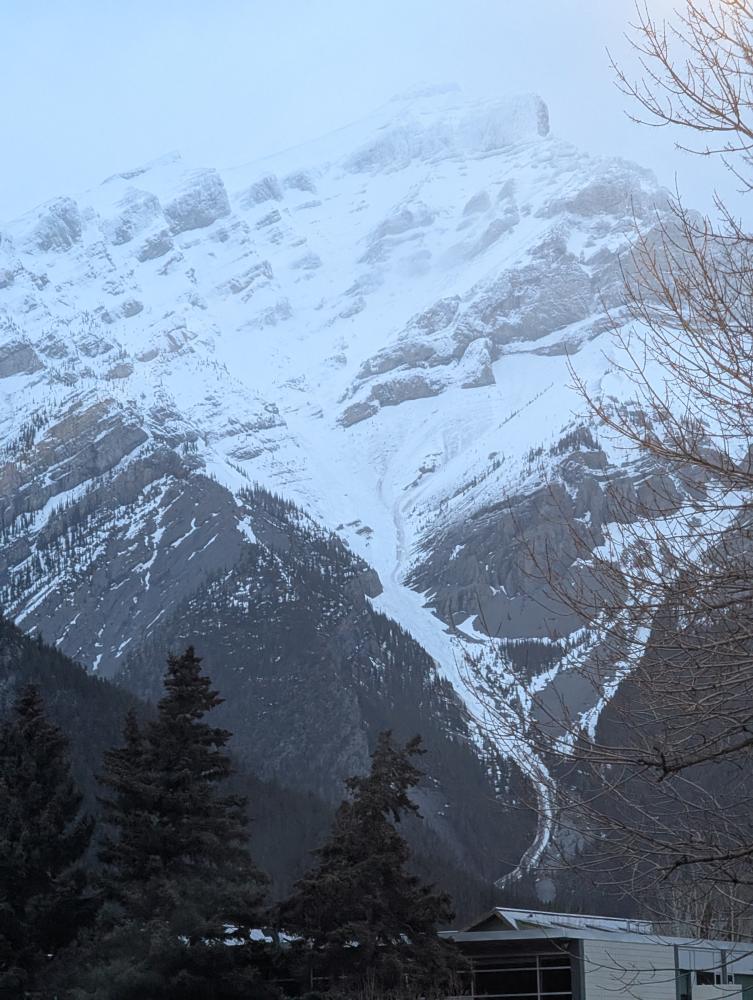
Evidence of a Size 4 Avalanche in the Postcard face (20262120)
WHERE WE WENT AND WHERE WE DIDN'T
During this period, our guides were operating primarily along 93N and within the Bow Valley corridor. As the storm intensified and ultimately peaked, our team did not travel in avalanche terrain, either overhead or underfoot. As conditions continued to deteriorate, we shifted to spending time in town resting and waiting.
THE OUTLOOK
Looking ahead, temperatures are expected to trend cooler, with the potential for additional light snowfall at times. As we move into the immediate post-storm period, our guides’ most important focus will be re-establishing what has not already run during this cycle, and how persistent weak layers are behaving in the wake of such a significant loading event. With the scale of recent avalanche activity, understanding what remains in place and how the snowpack is adjusting will be the primary priority as we return to the field.
From there, we’ll be working to refine the rest of the picture, including where crusts have formed, how freezing levels expressed themselves across the landscape, and what surface conditions and ski quality look like above the most heavily affected elevations. We’ll also be paying close attention to how any new snow bonds as the snowpack begins settling out after the storm. Areas that were heavily saturated earlier in the week are expected to have refrozen, and where melt or rain had a strong influence, surface conditions may now be firm or icy.
For now, our team will be approaching the post-storm period cautiously as we step back out and rebuild direct observations.
That’s all for now. This storm cycle has clearly marked a major inflection point in the season, and we’ll be back with an update once we’ve had the chance to get back into the field and rebuild a clearer picture from direct observations. Thanks, as always, for following along.
— The C9G's