251129 - Snowpack & Conditions Report

Winter has Arrived!
Join Us for Early Season Fun in the Backcountry on our AST 1, Rockies AST 2, or Rogers Pass AST 2 Courses, AST Connect+ Days, or Private Ski Guided Days in the Rockies and Beyond.
SNOWPACK & AVALANCHE CONDITIONS REPORT
Sunshine Village Sidecountry, Lake Louise, and 93N - 251129
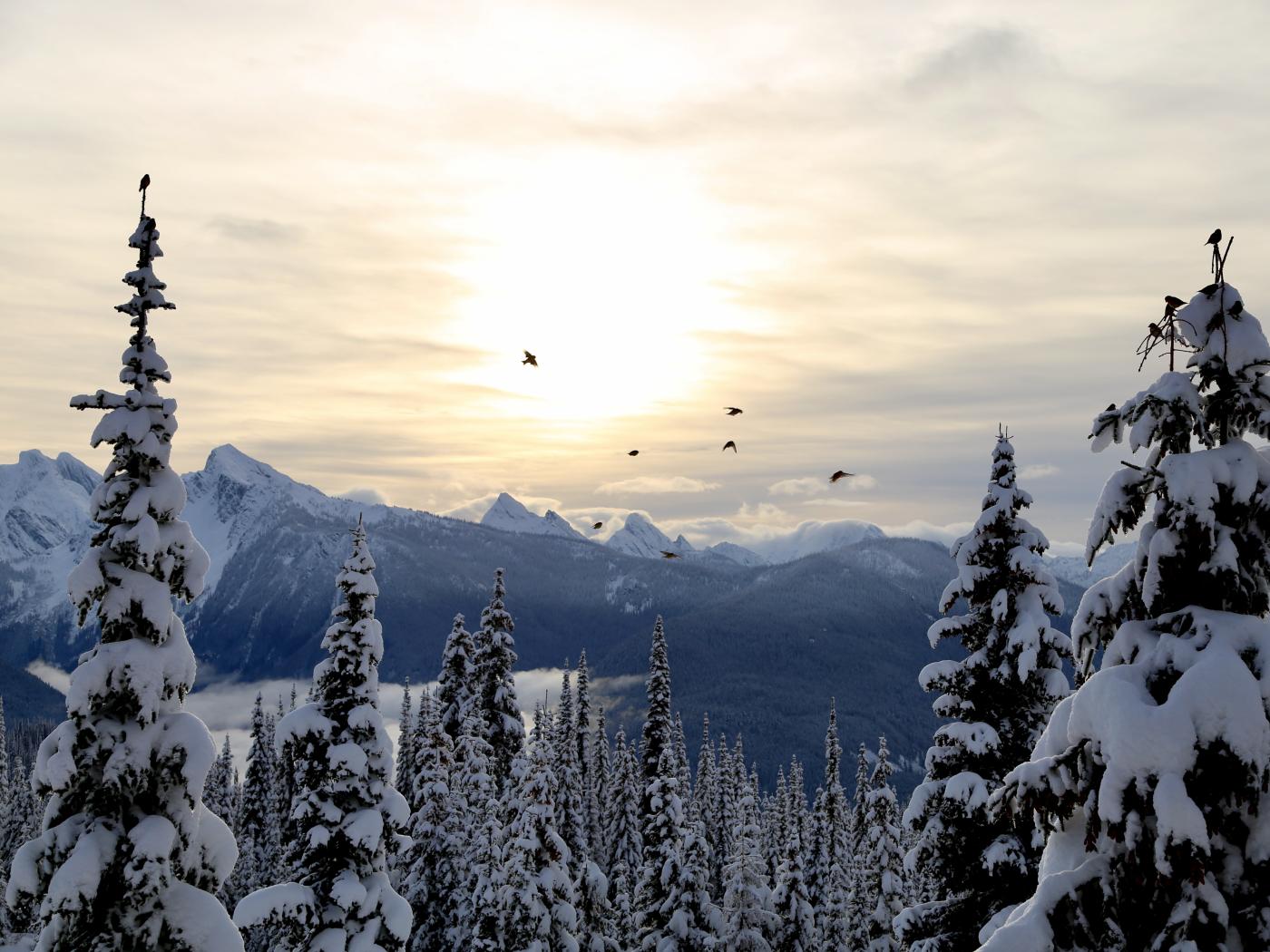
As November comes to a close and with the holiday season and the end of 2025 loom on the horizon, it finally feels like we can answer the question posed in this season’s first post: winter has indeed arrived. With the mercury now comfortably below zero and dry, fluffy snow covering the ground, the almost Vancouver-like autumn we just lived through feels like a distant memory.
With that shift taking hold, it felt like the right time to head back into the field and see how things are shaping up. A large November storm, followed by a proper cold snap and a stretch of clear, dry weather has started to lay down the first real building blocks of the season. Ordinarily, an early season cold snap would be talked about in a tone of doom and gloom, but not this year. There is more to that story, which we will get into shortly.
While it is still early days for late November and a long season stretches ahead, winter is undeniably here. It brings the familiar blend of promise, caution, and curiosity that comes with this time of year. Based on what we have seen so far, our team is feeling optimistic about the state of the snowpack and how it is beginning to take shape.
CURRENT CONDITIONS
As alluded to in the intro of this post, skiing and the overall stability here in the Rockies are surprisingly good for this time of year. The mid-November rain event we discussed in Post 2, which could have been a major setback, seems to have instead helped in an unexpected way. Rather than weakening the snowpack, it has significantly compacted the lower layers and created a very supportive base for late November travel. The snowpack is also notably missing any active persistent weak layers, which is largely unheard of for this point of the season. The result is a rare combination: the mythical green brick on the avalanche forecast coinciding with genuinely good skiing in November. It is not a pairing we see very often in the Rockies.
That said, it is still November, and early season hazards remain very real. Tall rocks, buried alders, and open creeks are still present in many areas, and terrain should be approached with the usual caution that comes with thin coverage, even when the skiing feels pleasant.
As positive as all of this sounds, it is not the universal truth for every area. The storm from last week was centered around the Lake Louise and Yoho junction, so terrain that extends north or south of those zones saw less of its benefits. The classic East–West dichotomy of the Icefields Parkway is also very much in play. Solar aspects are still either bare or exceptionally thin, while high, north-facing slopes on the west side of the highway are the ones enjoying this early season bounty.
Winter is here!
WHERE WE WENT, AND DIDN'T
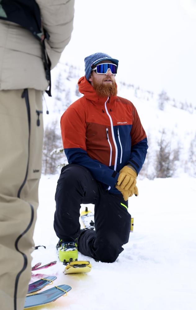
Over the past week we have spent most of our time in the Sunshine Sidecountry, so our travel farther afield has been somewhat limited. Even so, we have seen plenty of parties out enjoying the relatively stable conditions in the surrounding areas. Sunshine continues to offer easy access to higher elevation terrain, which has helped concentrate a good portion of the early season traffic there.
We also spent a day at Bow Summit, which was unsurprisingly popular. Coverage in the areas that caught last week’s storm is holding up well, and most of the classic early season features were seeing steady use. Travel was generally straightforward, and the skiing remained soft where the storm snow pooled deeply enough.
Outside these zones, our observations are more limited, but there are a few general patterns worth noting. Terrain that sits just outside the main storm track continues to look thin, particularly on the eastern side of the Parkway and on solar aspects where the early season rain and sun did the most damage. In contrast, higher north-facing slopes on the west side of the highway show far healthier coverage and have been skiing well. Until another round of weather arrives to even things out, expect this patchwork effect to remain the theme.
AVALANCHE ACTIVITY
Perhaps unsurprisingly, a period marked by a green brick and a lack of major weather events has resulted in very limited avalanche activity. This pattern is likely to continue until something in the weather shifts. Earlier in the storm cycle over the weekend there were two notable near-miss events in large, complex terrain features, but since then the storm snow has been settling and avalanche activity has tapered off almost entirely.
The most interesting observation of the week is the appearance of several glide cracks in the Lake Louise and Yoho junction area. Historically, these formations have been almost unheard of in this region due to our climate but their presence is likely tied to the unusual (re: warm and wet) weather that defined the Fall. They are here now, however, and will require vigilance. Only time will tell when (or if) these cracks release fully, and until then the appropriate strategy is simple avoidance of the affected terrain.
Otherwise, as stated in the bulletin, avalanche conditions will likely remain steady until we see another round of snow, any notable wind capable of creating new isolated wind slabs, or a period of substantial warming.
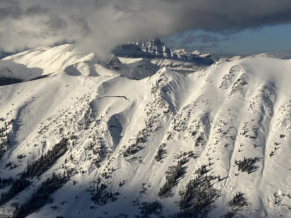
Glide cracks spotted in the Lake Louise Backcountry. 20251128
THE OUTLOOK
Looking ahead, the short-term picture remains steady. With no significant storms on the immediate horizon, conditions will likely hold in their current state until the next meaningful weather event arrives, and that is not a bad thing. Go get it while the getting is good. We would be looking for options along the southern Parkway that have not been stripped by sun or wind and do not require a canoe to access. It is still November, so that list is not especially long, but the terrain that has already been skied has been staying soft and is ready for plenty more tracks. Those with a disposition for exploration may also find their efforts well rewarded.
Until we see the next pulse of snow, a warming event, or any real wind capable of building new slabs, the pattern of pleasant skiing and generally stable conditions should continue. As always, this does not replace the need for good decision-making, thoughtful terrain selection, and an honest look at what thin early season coverage can hide.
Our Team will be following our own advice, with our boots on the ground and ski turns abound, and will return with updates once the weather gives us something new to work with.
Until next time,
the C9G's
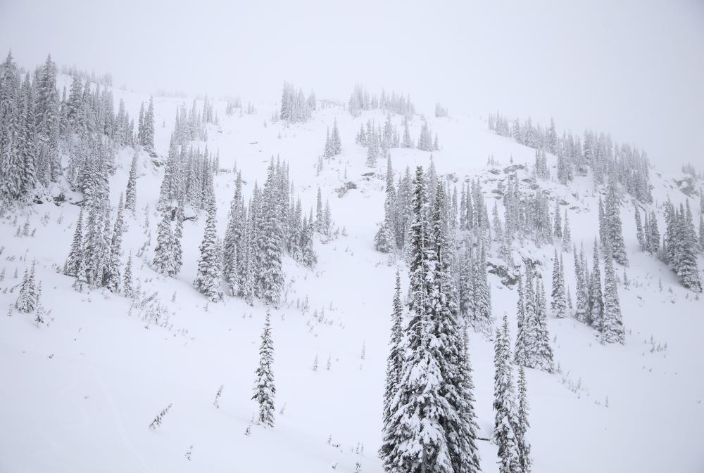
Stormy and sharky days in the Monashees. 20251126
BUT WAIT! THERE'S MORE: NEWS FROM THE TSUIUS RANGE
One member of our C9G Team spent the last week in the Tsuius Range of the Monashees, gathering observations to share with those of you who might be thinking about exploring beyond our regular stomping grounds.
Winter has been arriving in the Monashees rather slowly, with the snow coverage well below its typical depth for November. Due to this, early season hazards are still lurking around at every corner. The good news is that last weekend’s 40cm of storm snow has bonded well to the Nov 21st melt-freeze crust, resulting in a supportive snowpack structure that provided joyful turns on all aspects in treeline.
Snowpack depths vary significantly based on wind exposure and the elevation band in question, with wind-loaded treeline features representing values as high as 215cm and the below treeline snow cover decreasing rapidly from about a meter at 1900m to 40cm at 1500m.
The only avalanche activity observed included a few mid-storm windslabs, after which windslab reactivity faded quickly, and with no persistent weak layers in the snowpack, we left the range with a green brick in terms of avalanche conditions but strong caution for early season hazards on our minds.