Nov 14th, 2025 - Conditions Report

Kick Off Your Season with Avalanche Training!
Our AST 1, Rockies AST 2 and Rogers Pass AST 2 programs are live for the season. If you are looking to bridge the gap or refresh your knowledge after the summer hiatus, our AST Connect+ Day is a great way to get tuned up before things ramp up!
Snowpack & avalanche Conditions Report
Banff Area and Healy Pass - November 14th, 2025
We're now almost halfway through November and about two weeks out from the first blog post of the season. Avalanche Canada forecasts are up and running again, and the initial fog of war that always follows early-season storms is finally beginning to clear.
This time we are reporting primarily on how conditions are shaping up after what could be considered the first real curveball weather event of the season. Not every weather event brings a brilliant powder day, and the past week’s mix of rain, snow, and wind has done a good job reminding us of that. Still, events like this often play a major role in how the snowpack develops in the weeks and months ahead, which makes early observations especially useful.
With all this in mind, our team headed out to get a clearer sense of how the snowpack is settling after the storm, what travel feels like on the ground, and what hazards are beginning to reveal themselves as winter continues to take hold.
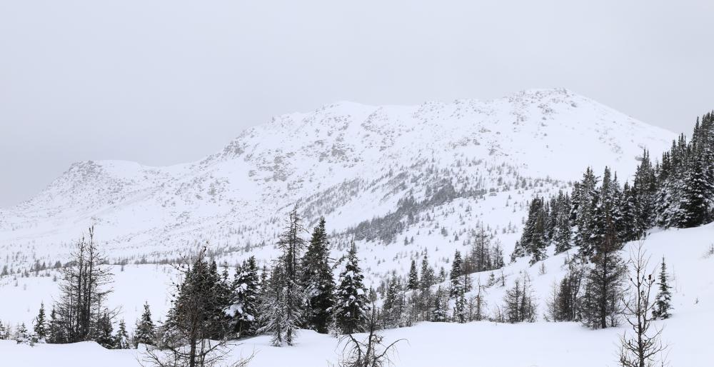
Tracks at Healy Pass before the storm. 20251112
CURRENT CONDITIONS
Weather we want it or not, the early season in the Rockies is often marked by bizarre or dramatic weather events, and yesterday was no exception. A major rain event delivered 20 to 50 mm of precipitation depending on location, soaking terrain up to roughly 2200 meters. Reports from Lake Louise indicated rain falling as high as 2450 meters.
Events like this tend to have a lasting impact on how the snowpack evolves through the season, particularly in terms of weak-layer development. The resulting rain crust will likely persist in one form or another until we hang up the skis sometime in the spring.
Another side effect of the rain is the significant reduction in snow depths below the freezing level. Much of the early-season coverage at BTL and even parts of TL has been stripped back to near the ground, leaving travel in these elevations thin, brushy, and generally challenging. Until we see another round of meaningful snowfall, expect difficult travel and limited rideability in these elevation bands.
Above the freezing levels, up to 20 cm of snow fell, forming new dense wind slabs. While avalanche activity around the Sunshine area appeared to be more limited, reports from Lake Louise and areas farther north indicate that this cycle produced numerous natural avalanches and has left several slopes primed for triggering.
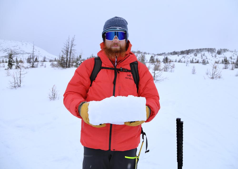
BG and the Block. 15-20cm of new 1F-P hard windslab
WHERE WE WENT, AND DIDN'T
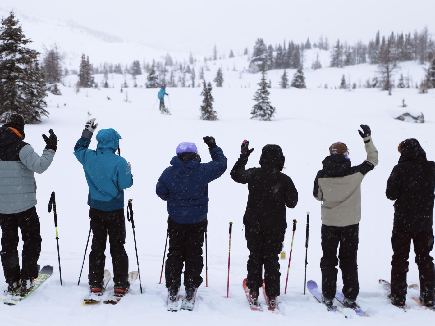
Given that conditions across the Rockies remain thin, and with the recent addition of some less-than-ideal precipitation, our Team is still operating in patience mode and not actively chasing early-season powdered core shots. This, combined with the potential for new and reactive snowpack layers, had us spending our day in the flats around Sunshine Village brushing up on companion rescue skills. While we were there, we did notice a small group of ski tourers lapping Wawa Hump, and they certainly seemed to be enjoying themselves.
Earlier in the week, one of our guides visited the Healy Creek drainage for a fitness mission and managed to link together a few palatable early-season turns.
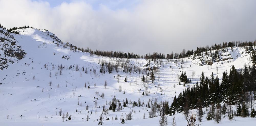
Looking at Wawa Ridge from below Wawa Hump. 20251114
Looking at Twin Cairns from below Wawa Hump. 20251114
THE OUTLOOK
Peering into the weather crystal ball, things are looking cautiously optimistic for the Rockies. The long-range forecasts are hinting at a possible pulse of snowfall, with some models showing totals as high as 50cm over the next 10 days. A more realistic outcome is closer to 10 cm for most areas, but even a modest refresh will go a long way towards improving travel as well as in rebuilding the base after yesterday’s rain.
Temperatures are expected to trend downward as we move into next week. This cooling should help preserve whatever new snow arrives and begin to firm up the lingering crusts and moisture-affected layers. That said, the warm blips in the next few days could mean mixed precipitation at lower elevations before the cold settles in, so expect variable coverage and some early-season weirdness to continue.
For now, patience remains the name of the game. Thin coverage, exposed hazards, and an unsettled early-season snowpack continue to make this a better time for gear checks, resort laps, transceiver practice, and easing the ski legs back into winter mode than it is for committing objectives in the backcountry.
Between now and our next blog post, our Team is planning to head West to take a look at how things are developing in the promised land of Rogers Pass as well as in the Monashees. In addition, the assessment mode continues on our regular stomping grounds here in the Rockies. We will report back with fresh observations, along with a look at how the snowpack is developing across these regions.
Until then, we will be watching the skies.
The C9G’s