Snowpack & Conditions Report - 220318

Snowpack & avalanche Conditions Report
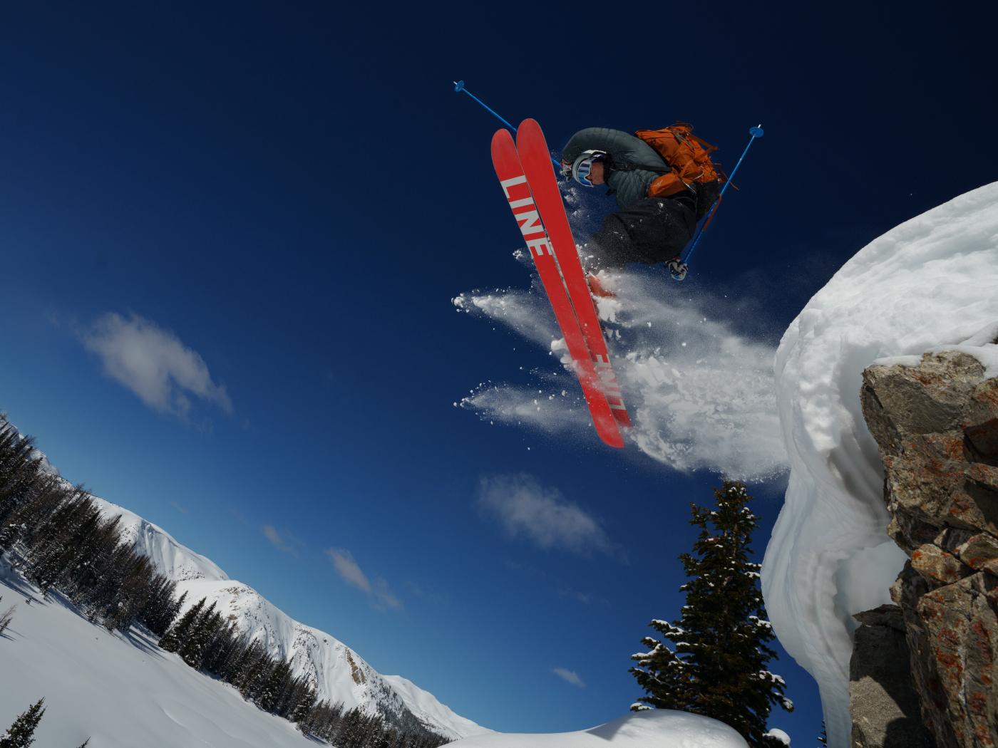
Fernie, Lizard Range & The Flathead - 220319
This week the Guides wrapped up a 5 day backcountry ski and split skills program in Fernie, and a welcome return to the Elk Valley.
Conditions over the past week have been varied, and there is little doubt, particularly in the Lizard Range, that the spring touring season is on. Weather throughout the week was varied and it seemed that we spend most of our time cashing in what little good karma we Guides might have had left to burn, in the hopes freezing levels would cooperate.
Approximately 40-50cm of storm snow dropped during our time there, and the avalanche cycle to follow produced a number of Sz 3.0's that were reaching the runouts in many of the large paths in the region. As is typical, The Flathead is/was/are are a whole different predicament than the Lizard, and last week wasn't much different.
All in all some great skiing and exploring to be had, but mostly elevation dependant. Hope the following is of some use to you all out there this week!
SNOWPACK TESTS:
The main focus was in tracking the new HST (storm snow), which didn't seem particularly willing to bond or heal as fast as we would have expected (or hoped) and held reactivity in concerning amounts throughout the week. Shears observed in snowpack tests were primarily in the top 60-70cm above the March 4th Cr (rain crust), above 1500m, and on average could be characterized as the following:
Tuesday (mid storm, Lizard Range):
CT's: Middle Moderate results down 20cm, 30cm and 45cm. Generally RP (resistant planar).
ECT's: Generally no results.
Wednesday (post storm, Lizard Range):
CT's: Very easy results, many repeatable in a variety of locations CTE4-5 Down 45 SP (sudden planar). HST having settled into a 4F-1F slab (meaning just hard enough that it wouldn't be much fun to dance with).
ECT's: not much going on surprisingly.
Thursday & Friday (Flathead Range):
Given the air temp, the snow temps of both storm snow and existing snowpack, and lastly given the surface structure of the existing snowpack prior to the storm, would have expected to see a quick reduction in reactivity in test results, which wasn't to be unfortunately. Even at the 48hr mark post storm, results were still be observed consistent with the following:
CT's: Very easy, sudden planar results at TL and ALP on all aspects in The Flathead regions.
ECT's: Again, often just producing ECTX, and not much of note.
THE WEATHER:
Arriving last Monday (March 14th) we rolled into the Elk Valley to light rain below 1500m and the odd flurries above. 45cm or so managed to stack up by the end of a pulse that rolled through on Wednesday PM / Thursday AM, while freezing levels hovered for much of the week around 1500-1700m and left us with a bit of a window up high where cold(ish), dry(er) snow was holding. Below 1500m however, conditions could typically be described as character building as much of the storms precip fell as rain at lower elevations. Thursday and Friday saw dribs and drabs and an extra 10-15cm added to the weeks total, again above 1500m for the most part. Despite our expectation to see the onset of an avalanche cycle on Tuesday with the arrival of the 45cm of HST (storm snow), an eerie calm Tuesday settled in; it was a significant wind event overnight on Tuesday that seemed to really kick things off, as we arrived in the alpine to see just about everything that could produce an avalanche, had.
Moving out to The Flathead for Thursday and Friday, we set up approx. 50km due East of the Lizard Range, in an area that had not seen the same rain effects, and thankfully had us skinning off the roadside from a starting elevation of 1450m and into good snow quickly. Much of this area appeared to have about 35-40cm of recent HST that's likely going to hold on into this coming week, as long as the winds don't dig into it too hard. Could be good for all of our friends down south this week - Justen, Ryan, Wes... you know the place.
AVALANCHE OBSERVATIONS:
Despite having received 45cm of HST on Tuesday, it was a wind event Tuesday overnight that seemed to tip the snowpack past threshold. Returning to areas adjacent the resort on Wednesday morning, most everything at the food of any extreme terrain had flushed, producing numerous natural avalanches to Sz. 2-2.5 in the storm snow. On Wednesday one of our teams caught a cat-bump up into the McDermott area, and observed again numerous Sz. 2.0's in the immediate lee of ridge crests, and debris from numerous Sz 2.5-3's in the runouts of the bigger paths.
A group in this area at the time reported consistent signs of instability, including wumphing and cracking and in addition a skier accidental avalanche in the neighbourhood of Sz 1.5-2.
Natural avalanche activity began to subside by Thursday evening, but again left us with that uneasy feeling right through Friday end of day that ski triggered avalanches were probably easily triggerable.
Too many avalanche obs to list individually this week, but think widespread instability on all aspects at elevations above 1500m with debris reaching valley bottom runout zones up to Sz 3.0. Likely still more than a little touchy in places here though the weekend.
SNOWPACK DESCRIPTION & CHASING SNOW:
If you're down this way in the near term, the place to be seems to be above 1500m, at least in the Lizard Range. Ski quality below this is going to be down right abusive, unless things cool off, stay cool and we see a stack more snow at lower elevations. Otherwise, this would be a great time to tour off the hill up high, or use your favorite motorized steed to get high before you start looking walking about looking for turns. Back on March 4th a rain event pushing up to between 1900-2000m left a rain crust in place in the snowpack that we found approx. 40-70cm down in the pack, and is on average about 10-20cm think and hard. Hard enough that with this crust present, we effectively were no longer concerned about the clearly present weak layers below it, as it would take something close to a thermo nuclear event to penetrate that crust. That said, that time will come as the spring warms, and given the dogs breakfast of reasonably concerning layers below it, I would imagine it will wake up at some point once we've had enough warm weather to compromise the strength of the bridge, and we'll see some sort of climactic type events filling up the runout zones in valley bottom.
WHERE WE WENT & DIDN'T:
We managed to make the rounds throughout the week, spending time in and around Lost Boys, Mongolia Bowl, Ridge 2000, The McDermott, Tunnell Creek and a few venues out in The Flathead. On two of the program days, we bumped up via snowcat into features on the SE side of the Lizard Range, and ultimately opted out of a Heli-bump for a variety of reasons on Friday, not least of which being the pilots were taking some time off ;)
After the storm arrived, our terrain use quickly became limited to 30˚ features, with very limited exposure to slopes capable of producing Sz. 2.0's or larger. Overhead exposure wasn't much of a question as of Thursday morning, and the volume of debris of the big Sz 3's in the runout zones.
The approach was much the same in The Flathead. While there was not the same volume of direct evidence of an avalanche cycle in these venues, the combination of uninspiring snow stability test results and limited observation of natural avalanche activity left us with the idea that this zone might well be tuned for some human triggering. We thought it prudent to dial it down for our days here.
TUNNEL CREEK MECHANIZED USE:
As of the 15th it's game on for mechanized traffic in the Tunnel Creek drainage. The road in and out is as you would imagine rain soaked snow to be be below 1500m with sleds mozy'ing up and down the access road - bring your mouthguard and knee braces. Only proper to share the sandbox though, and great to be able to stope and chat with a few groups on their way in to the hut, swap conditions info, and shoot the breeze for a few minutes. A caution for those on foot however, as not all were so willing and keen to stop and talk shop; we did have a couple knuckleheads doing doughnuts around us like they were looking for a lost set of car keys for much of the day on Thursday, buzzing the group and railing up into start zones over our heads. Can't do much about it really, aside from maybe giving the zone a rest, and finding quieter locales.
THE OUTLOOK:
Looks like a break in the precip for the coming few days, and another bump of 10-15cm of snow later in the week. Clear skies will likely mean new suncrust formation on solar aspects, and some radiative stresses for the snowpack during the day, but freezing levels look to be holding in the 500-1250m range for the week which should preserve some of the recent storm snow on polar aspects at upper elevations, in locations where the wind events of this past week haven't had the opportunity to dig into the snow. Winds look light and temps favourable to heal up what remaining reactivity might be lingering in the recent HST. If we were heading back, we'd be looking to aim for N-NE aspects from 1600m upward, in wind sheltered locations. The Hazard rating looks to be dropping to 2/1/1, but I think I'd still be on the lookout for any pockets of reactive storm snow still hanging about - after all it was less than 48hrs ago we were seeing numerous compression tests in the easy range with sudden planar results.
Have a great week out there - and hope this inspires some of you to get down to this zone this week and check it out!
All the best,
The Cloud Nine Guides